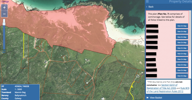
Looking at the north end of the Ballyconeely peninsula, I can follow Google street view on to the shores of Mannin Beg. This is a popular surfing spot.
https://earth.app.goo.gl/MfH2Wn
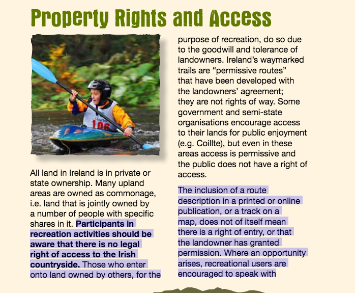
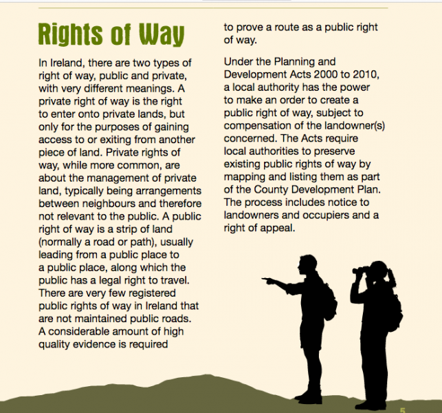
It requires a gate to be opened and a drive through bog and dunes. Now this looks a lot like commonage to me. Yet the Google street car can go there and I have always taken that to mean that a right of way exists. There are similar street views trails on Omey Island.
Having been abruptly booted off commonage, along with 20 other vans last year on the southern end of the peninsula by the golf course, I am very weary about knowing where is ok to park and where is not. Mind you, the street car did not traverse that section of commonage.
Any thoughts ?


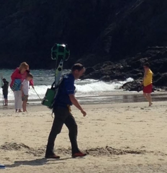
 ) thought it was someone selling Heineken, wishful thinking!


